Start with one basin or the whole roll.
Send us your parcel layer or billing area, and we'll tell you what the imagery can show.
A parcel-level impervious area layer from very-high-resolution imagery, keyed to your parcel IDs and redone every two years, so the fee roll stops aging between rate studies.
TodayDigitizing from aerial photos
InsteadWith Stormwater Fee
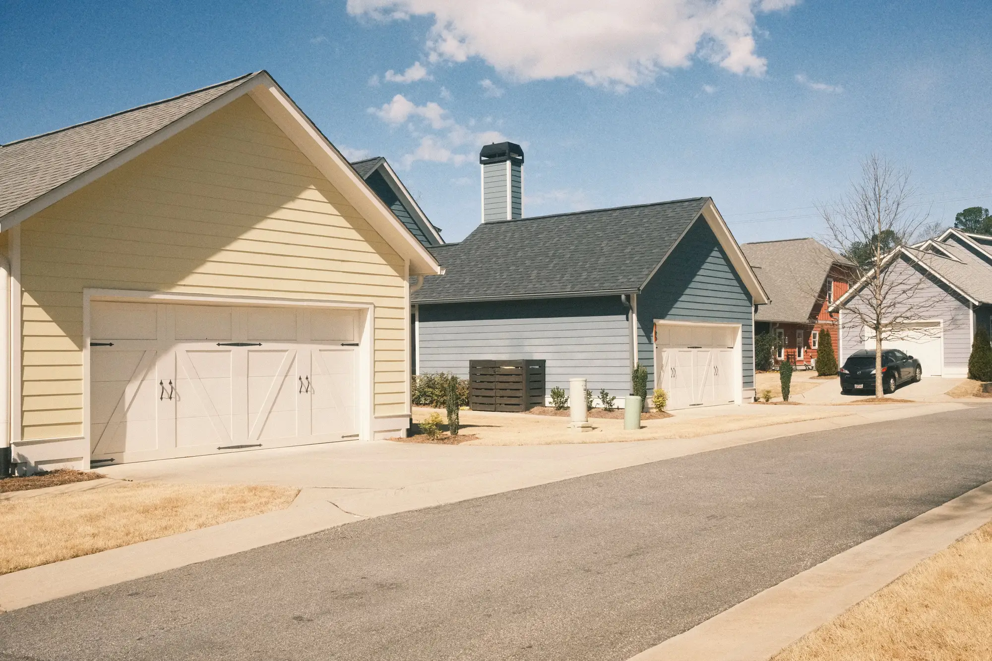
The fee roll was built from building and pavement outlines traced off an aerial photo at the last rate study. Since then people have poured patios, added garages and widened driveways, and none of it is in the billing system.
Then a bill goes out, the customer calls, and someone pulls the old photo, redraws the parcel by hand or drives out to look. One appeal is a nuisance. A stack of them after a rate change eats the analyst's weeks, and a new flyover to fix the roll at its source is a line nobody signs.
| Step | TodayDigitizing from aerial photos | InsteadWith Stormwater Fee |
|---|---|---|
| 01Measuring sealed area on each parcel | An analyst or contractor traces rooftops and pavement off an aerial photo, parcel by parcel, at the rate study. | Sealed and pervious surface is classified across every parcel in the service area from one imagery pass, and the sealed square footage comes back per parcel ID. |
| 02Getting it into billing | The traced areas are cleaned, joined to the parcel layer and keyed into the rate engine, or the assessor's building footprint stands in for the total. | A per-parcel sealed square footage table arrives as a CSV next to a GIS layer keyed to the same parcel ID, so the join is the one you already do. |
| 03Keeping it current | The roll waits for the next rate study or a one-off flyover, and changes on the ground pile up in between. | The same parcels are re-run every two years, so each cycle starts from a fresh layer and a change since the last one can be seen. |
| 04Answering an appeal | An analyst pulls the old photo, redraws the parcel by hand, or sends a crew out to measure. | Each disputed parcel gets an imagery clip and an area figure you can set against the customer's claim before you decide whether a site visit is needed. |
| 05Reviewing a fee credit | The application is checked against a site plan or a visit. | The current imagery clip shows what is sealed on the lot today, to sit in the file beside the application. |
| 06Setting the rate and deciding the appeal | The utility's council or board sets the rate, and staff rule on credits and appeals. | The same people do the same, working from a fresher number. |
| Still yoursThe rate, the ERU definition, the credit policy and the decision on every appeal stay with the utility. Our figure is evidence for that decision, not the decision. | ||
Sealed and pervious polygons keyed to your parcel ID, for the whole service area, in a format your GIS opens. It serves the measuring row.
One row per parcel: parcel ID and sealed square feet, ready to join into the billing system. It serves the getting-it-into-billing row.
The same parcel grid re-run on new imagery, so two cycles can be compared parcel by parcel.
For a parcel that is disputed, the imagery clip and its sealed area figure, to attach to the appeal file.
Send your parcel boundary file or billing-area boundary. We pull a clear-sky pass over the service area in the months ahead of the study, at 0.5 m or finer with RGB and NIR.
Sealed and pervious surface is separated across the imagery and summed inside each parcel.
The layer and the CSV come back for the billing roll, the rate study and your GIS. Appeal clips come on request, as bills go out and disputes arrive.
The same parcels run again. Changes since the last cycle show up against the earlier layer.
A crew on site can tell a gravel drive from poured concrete and see a drain, a rain garden or a downspout going to a lawn. We see from above and classify what the pixel looks like.
At 0.5 m a pixel is about 20 inches across. Rooftops, driveways and lots show up. A narrow walk or a strip of pavement under a couple of pixels wide may not, and is uncertain.
We measure sealed footprint. Pavement condition, material, pervious pavers and how a site drains are not something imagery at this resolution tells you.
A roof edge or a driveway under a tree canopy or in building shadow can be hidden. These places are flagged for you to check, not guessed.
The imagery pass needs a cloud-free day, which can move the delivery. The cadence is a two-year cycle for the roll. Nothing here alerts you to a single change.
No. It replaces the step of digitizing impervious area. The roll, the rate and the billing system stay yours.
Take a block of parcels you have already traced or appealed, send the boundary without your areas, and compare our figures with yours.
No. It is evidence for the file, with an imagery clip. The decision is the utility's.
The layer is a GIS file keyed to your parcel ID and the billing table is a CSV. We don't write into your billing system.
Ownership and licence terms are agreed in writing when you start. If your legal or procurement team wants them first, ask.
No. At this resolution it sees sealed footprint, not material or condition.
No. The roll is refreshed on a two-year cycle, built for rate studies and billing runs.
The cost depends on the size of your service area and the imagery used. Tell us about your roll and we'll scope it.
Send us your parcel layer or billing area, and we'll tell you what the imagery can show.