Blog
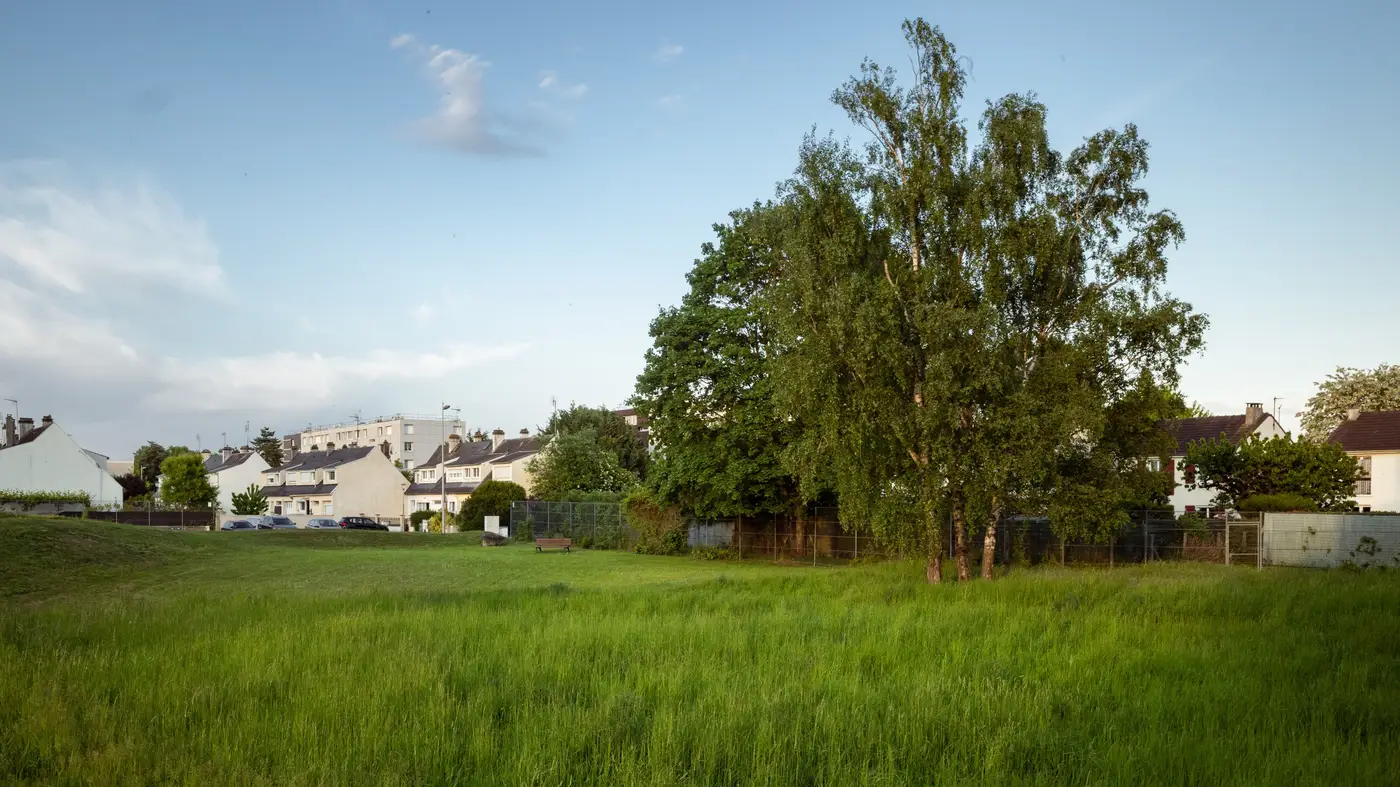 Annual vs. biennial impervious area updates: what fits a mid-size utility
How often a mid-size utility needs to refresh its impervious area layer, and why biennial beats annual for most parcel fee rolls.
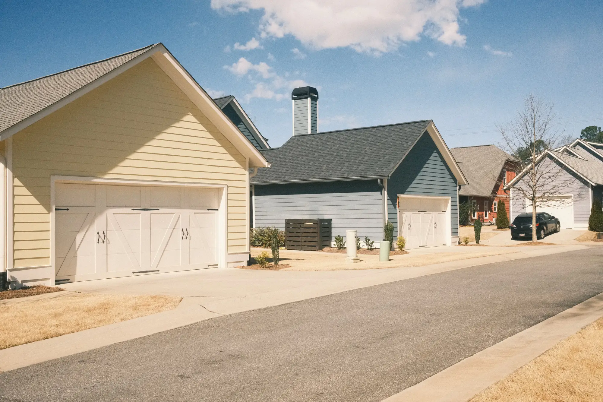 Field notes: the subdivision that finished construction the same month our imagery did
A new-build subdivision closed out the same month a fresh imagery pass came through. What that timing bought the fee roll, and what it didn't.
- How to bill stormwater fees on vacant and undeveloped land
How to bill stormwater fees on vacant and undeveloped parcels: three ERU assignment methods, their failure modes, and why the data drifts stale.
 What is a stormwater fee credit manual, and how do billing staff use one
What a stormwater fee credit manual covers, how it differs from a credit policy, and how billing staff use it to review credit applications.
- Field notes: a resurfaced parking lot added four thousand square feet nobody billed
A routine mill-and-overlay job added thousands of square feet of pavement to a parcel without anyone noticing. Here's why the fee roll didn't catch it.
 Truing up a stormwater fee roll after a rate study flags underbilled parcels
A rate study found underbilled parcels. Here's how utility staff typically work through the true-up, from verifying impervious area to back-billing policy.
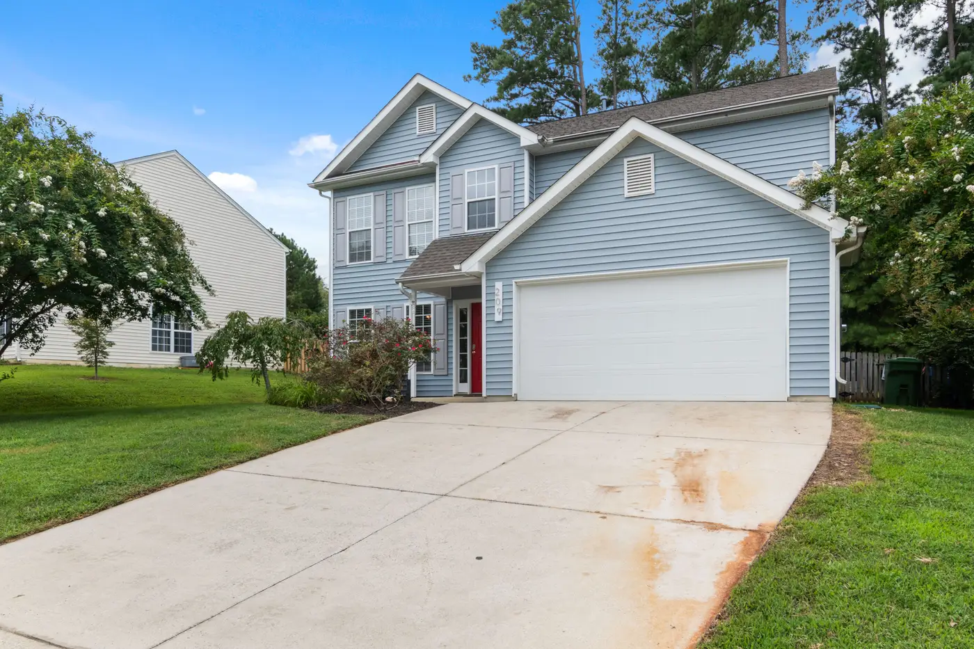 How to classify a green roof for stormwater fee billing
Is a vegetated roof impervious area or a credit? How most stormwater utilities handle green roof classification on the parcel fee roll.
- Handling stormwater fee exemptions for government and nonprofit parcels
A fee roll manager's guide to exemptions and waivers for tax-exempt parcels: why property tax status doesn't carry over automatically.
- Field notes from our first appeal season on satellite imagery
A stormwater program manager's notes from the first appeal cycle after retiring the flyover contract for satellite-based impervious area data.
- Parcel fee roll vs. tax parcel roll: what's the difference?
Why the county tax parcel roll and your stormwater fee roll aren't the same dataset, and what it takes to keep the billing side current.
- How to bill stormwater fees for multi-tenant and mixed-use parcels
A parcel-by-parcel look at billing stormwater fees on multi-tenant and mixed-use properties, and why impervious area is the cleanest basis.
- Satellite imagery vs. county GIS parcel layers for a stormwater fee roll
County GIS gives you parcel boundaries, not impervious area. Here's where that gap shows up on a stormwater fee roll and how VHR imagery closes it.
- How often should you refresh your impervious area layer between rate studies?
Rate studies run every five years or more. Parcels don't wait that long to change. Here's a cadence that keeps the fee roll honest in between.
- Is a gravel driveway impervious surface for stormwater fee billing?
How most stormwater fee ordinances treat gravel driveways, why appeals on this one surface type never stop, and what the imagery can and can't tell you.
- Handling a stormwater fee appeal: a step-by-step process for program managers
A practical walkthrough for stormwater fee appeals: what to ask for, how to verify impervious area, and how to close the file without a special flyover.
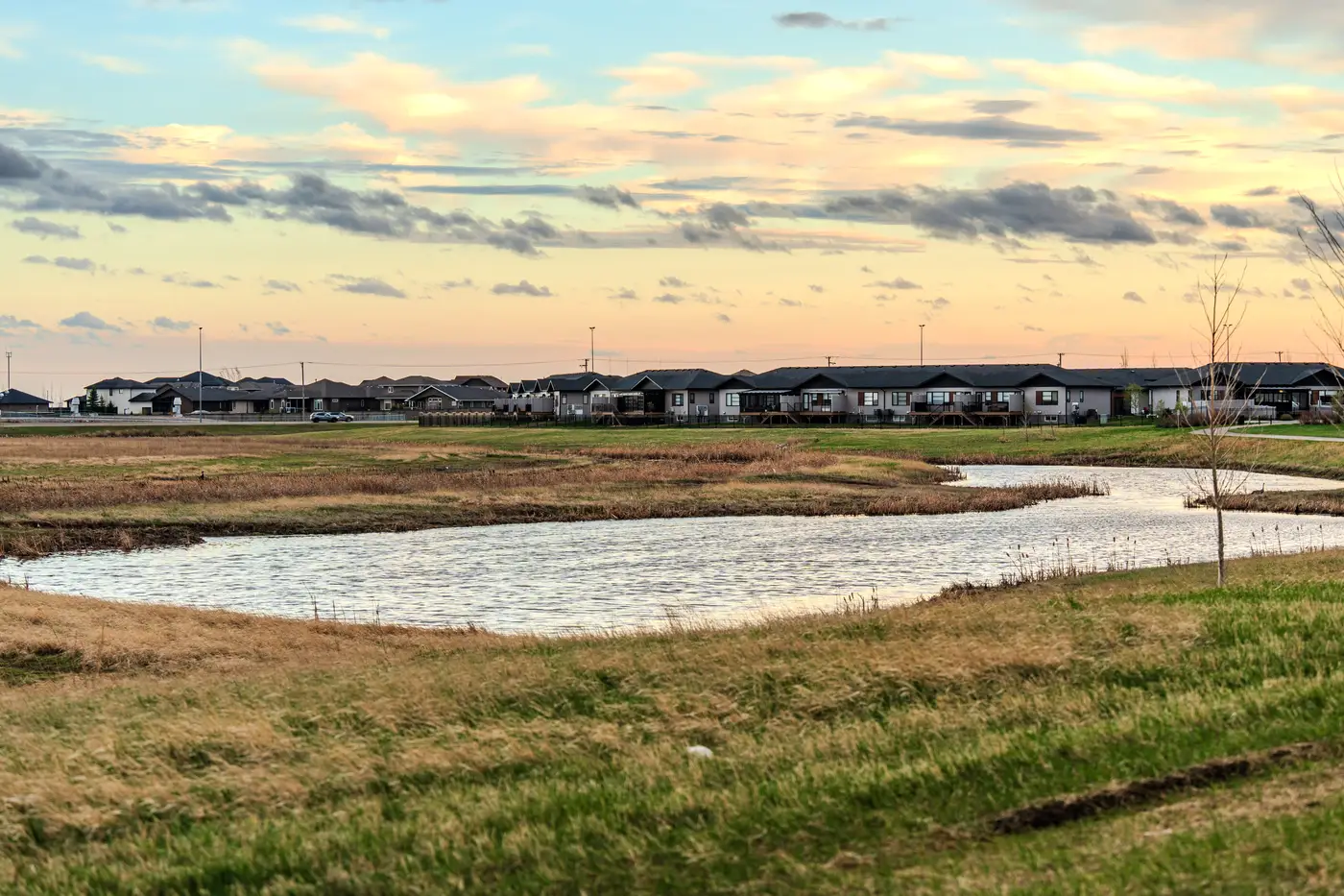 Stormwater credit policy for on-site detention, explained
How on-site detention credits work in a stormwater fee program, what documentation to require, and where appeals actually come from.
- Tiered vs. flat rate stormwater fees: how they compare
A plain comparison of flat and tiered stormwater fee structures, and why both eventually depend on current impervious area data.
 What is an ERU in stormwater fee billing?
A plain explanation of the equivalent residential unit, how utilities set it, and why the number drifts between rate studies.