Field notes: the subdivision that finished construction the same month our imagery did
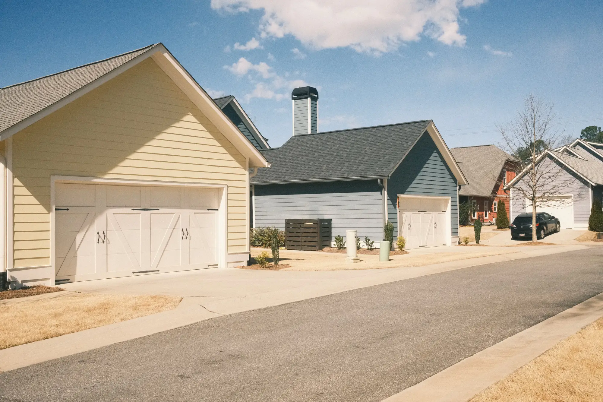
Phase 3 of Heron Ridge closed out in October. Last driveway poured, last unit of sod laid, last certificate of occupancy signed off by the building department. Forty-one lots that had been bare dirt and silt fence eighteen months earlier were now full parcels with roofs, driveways, and the kind of compacted side-yard gravel pad nobody puts on a site plan but every contractor leaves behind anyway.
The imagery pass for that quadrant landed the same month. Not by any clever scheduling on our end, just the way the cadence fell that year. So when the updated impervious layer came through, Heron Ridge showed up exactly as built: forty-one rooftops, forty-one driveways, the retention pond cut-through, the cul-de-sac bulb. No lag between what the county had on file and what was sitting on the ground.
That's the version of this story that makes a good anecdote. It's also the exception, and it's worth being honest about why.
The usual gap
Most of the time, construction and imagery don't line up that neatly. A subdivision breaks ground, the plat gets recorded, and the county's base impervious layer keeps showing those forty-one lots as vacant or "under construction" status for a billing cycle or two after the houses are occupied. Someone's moved in, mortgage closed, mailbox installed, and their fee roll record still reflects dirt.
That gap runs in both directions and neither one is good. Bill off a stale layer and you're either undercharging new impervious area that should've started accruing the month of occupancy, or you're stuck fielding appeals from residents whose bill still reflects a flight from before their house existed. Either way somebody on the billing side ends up pulling the parcel, checking the plat date against the last capture date, and manually patching a record that a routine refresh would've caught on its own.
Heron Ridge didn't generate that call. The next subdivision over, finishing out in March with the prior imagery pass from the previous spring, did. Nine months of a finished subdivision sitting in the system as pre-development acreage before the next cycle caught it up. Nobody did anything wrong there. The flight schedule just landed on the wrong side of the construction calendar.
What the NIR band buys you in a case like this
One thing worth flagging from Heron Ridge specifically: the sod was fresh enough that in true color alone, some of those side yards could've read as bare ground rather than turf, especially the strips still showing seam lines between rolls. The near-infrared band is what separated new grass from compacted dirt and gravel pads on a few of those parcels. Vegetation reflects strongly in NIR even when it's three weeks old and still green from the installer's last watering. Bare soil and gravel don't. Miss that distinction on a few dozen lots and the fee roll ends up short on impervious square footage for parcels that already have the driveway and the gravel pad sitting on them.
None of this is really about luck. It's about how often the layer underneath your fee roll gets a look. A parcel-level impervious layer built for a biennial refresh isn't going to catch every subdivision in the same month it wraps construction. What it does is keep the gap between "built" and "billed" to a year or two instead of however long it's been since the last flyover somebody happened to budget for.
Heron Ridge got lucky with timing. For the parcels still waiting on the next cycle, what closes that gap isn't luck. It's a refresh that lands on schedule every time.
Worth a look if your fee roll has a few Heron Ridges of its own sitting in the gap.