How often should you refresh your impervious area layer between rate studies?
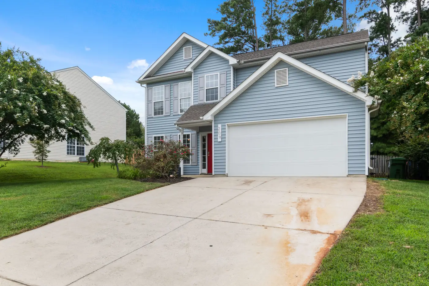
If your utility runs rate studies every five years, you've probably already noticed the problem: the impervious area numbers on the fee roll are five years old by the time the next study even kicks off. Driveways get poured, additions go up, pole barns and pools get added, and none of it shows up in billing until someone appeals or a new rate study pays for a fresh flyover.
The honest answer to "how often should we refresh" is: more often than the rate study cycle, and less often than every year. Most programs land somewhere between two and three years, with two becoming the more common answer as satellite imagery has gotten cheap enough to stop treating a refresh as a capital project.
Why the rate study cycle isn't a refresh cycle
A rate study and an impervious area refresh are two different jobs that happen to get bundled together out of budget convenience. The rate study sets the dollar amount per billing unit, usually an ERU or equivalent. The impervious layer sets which parcels owe how many units. When the layer only gets touched during a rate study, you're billing four or five years of new rooftops and pavement at whatever the parcel looked like the last time someone flew over it.
That gap is where appeals cluster. A property owner who added a 1,200-square-foot shop building in year two of the cycle is still being billed on the old footprint in year four. When it finally gets noticed, it's usually because they called in to dispute something else and a tech happened to look at the aerial. That's luck catching the change, and nobody budgeted the program to depend on luck.
What a two-year cycle actually catches
Annual refreshes sound ideal until you look at what changes in a single year on a typical parcel base: not much, outside of active subdivisions. A one-year cycle mostly pays to confirm that nothing happened, which is expensive confirmation. A five-year cycle, or waiting for the next rate study, lets years of small changes stack up on top of each other, so the eventual correction hits a lot of property owners at once, right when the rate is also changing. That's the worst possible moment to also tell someone their square footage was wrong.
A two-year cadence splits the difference. New construction, additions, and driveway expansions show up within a cycle or two of being built, instead of waiting for the rate study. The corrections are smaller and spread out, because you're not batching four years of missed changes into one pass. And it decouples the data question from the rate question entirely, so when the rate study does come around, the utility is adjusting the dollar figure against a parcel base that's already reasonably current instead of trying to do both jobs at once.
Where to actually get the refresh
The practical obstacle has always been cost: a dedicated aerial flyover for the whole service area isn't something most capital budgets want to fund every other year, which is exactly why so many programs default to "whenever we do the rate study anyway." Very high resolution satellite imagery changes that math, because the utility isn't chartering a plane, it's pulling a current pass over the parcel base on whatever schedule the cadence calls for.
That's the model behind Stormwater Fee: a parcel-level impervious area layer built from sub-half-meter satellite imagery, refreshed on a biennial cycle so the roll doesn't sit still between studies. Every rooftop, driveway, and sealed lot gets measured off current imagery, in a format that hands off to the billing system instead of a shapefile someone has to reconcile by hand.
If the layer your fee roll runs on is older than your last two rate studies combined, that's worth a look before the appeals start piling up again.