How to bill stormwater fees for multi-tenant and mixed-use parcels
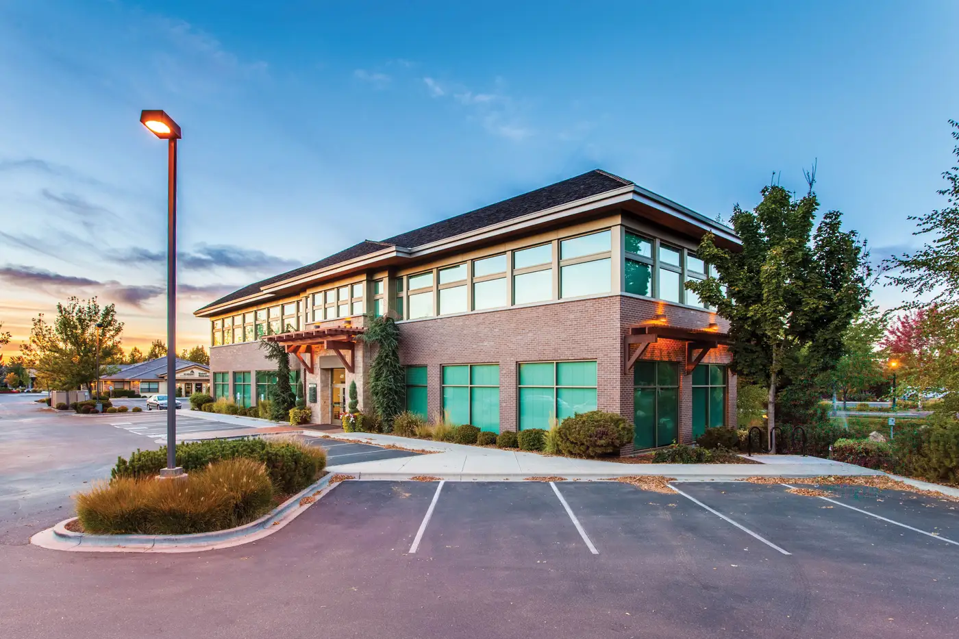
Most stormwater fee ordinances bill the parcel, not the business. That sounds simple until you pull up a tax parcel with a strip mall, a bank branch with a drive-through, and a detached outparcel restaurant all sitting on one PIN. One owner, one bill, three very different roof-and-pavement footprints contributing runoff. The fee roll doesn't care how many tenant improvement permits were pulled. It cares about the parcel.
That's the part that trips up a lot of billing staff coming from a flat-rate or land-use-code model. A single-family residential tier works fine because the lots are close enough in size that one ERU (equivalent residential unit) stands in for the average rooftop and driveway. Commercial and mixed-use parcels don't average out that way. A 0.4-acre parcel with a surface lot covering 90% of the site and a 0.4-acre parcel with a building footprint on a third of the site shouldn't land in the same tier just because the county assessor filed them under the same land-use code.
Why land-use codes break down on mixed-use parcels
Assessor land-use codes were built for valuation, not runoff. "Commercial retail" covers everything from a single-story strip center with a sea of asphalt to a four-story mixed-use building with structured parking underneath and a green roof on top. Bill both off the same code and you're either overcharging the dense infill project or undercharging the surface-lot sprawl, and either way you're going to hear about it at the counter.
The fix most authorities land on eventually is billing by actual impervious area rather than by code or acreage. Rooftop, driveway, parking, loading dock, and any other sealed surface gets measured, summed per parcel, and run through the rate per square foot (or per ERU-equivalent, however your ordinance defines the unit). It's more work up front than assigning a tier off the assessor file, but it's the only basis that holds up when a property owner walks in with a survey and asks why their fee doesn't match the parcel next door.
Keeping multi-tenant parcels current as sites get redeveloped
Multi-tenant and mixed-use parcels also change more than residential lots do. A strip mall gets an outparcel carved off and developed. A surface lot gets restriped and loses a drive aisle to a new drive-through lane. A commercial parcel stormwater fee that was accurate at the last rate study can be stale within a couple of years just from routine site work, long before anyone updates a condo plat or re-records the parcel.
This is where most programs fall back on one of two options, neither of which scales well. Staff digitize impervious area off aerial photos parcel by parcel, which works for the handful of properties someone complains about but never gets done roll-wide. Or the authority pays for a one-off flyover and digitizing pass whenever an appeal or a rate study forces the issue, which means the basis for the fee is only ever as fresh as the last time someone wrote a check for it.
A standing, parcel-level impervious layer sidesteps both problems. Instead of treating imagery as a one-time capture for a rate study, it gets refreshed on a set cycle so rooftop and pavement changes on commercial and mixed-use parcels show up before the next billing cycle rather than after the next appeal. That's the gap Stormwater Fee is built to close: a parcel-level impervious area layer from VHR imagery, handed to your billing system on a biennial cadence so the fee roll doesn't sit on data from the last flyover you happened to budget for.
If your multi-tenant and mixed-use parcels haven't been re-measured since the last rate study, it's worth asking what's changed on those rooftops and lots since then, and get in touch to see how a refreshed impervious area layer would sit against your current roll.