How to bill stormwater fees on vacant and undeveloped land
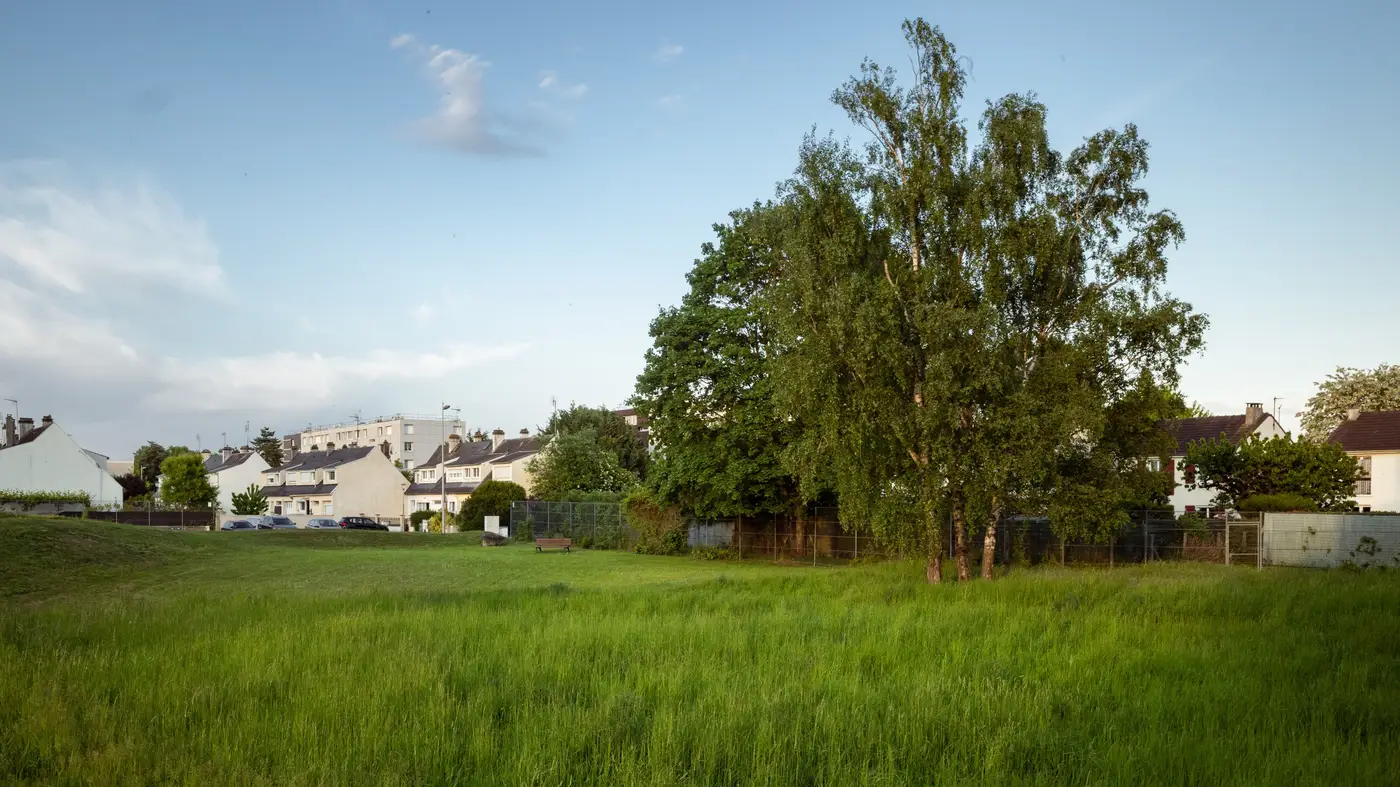
Every fee roll has a column of parcels that never show up for a hearing: vacant lots, raw land waiting on a developer, the five acres behind the strip mall that's just grass and a drainage swale. Someone eventually asks why that parcel pays the same flat rate as the rooftop next door, or why it pays anything at all, and the answer has to hold up when the owner calls.
Why vacant land still gets a bill
Stormwater fees are tied to runoff, not occupancy. A paved lot sheds water whether or not a building sits on it, and a grassed lot that used to be a parking area often still has the old base and curb cuts under the turf. Most ordinances bill by impervious area because that's what drives runoff into the system, not by zoning designation or whether the parcel has a tenant. "Vacant" on the tax roll doesn't automatically mean "zero fee." It means someone has to go check what's actually covering the ground.
The trouble is that most fee rolls don't have anyone checking. A parcel gets flagged "vacant" at the time of the original rate study, drops into a flat minimum tier, and stays there for a decade, even after a gravel staging area goes in, a billboard pad gets poured, or the lot gets cleared and graded ahead of a sale. Nobody re-digitizes a vacant parcel for fun.
Three ways to assign an ERU to bare land
Most programs land on one of three approaches, and each has a different failure mode.
Flat minimum fee. Simplest to administer and defensible at adoption. This works for land that's genuinely raw and unimproved. It falls apart the moment a "vacant" parcel turns out to be a contractor's laydown yard with forty thousand square feet of compacted gravel.
Zoning- or acreage-based tier. Bills by parcel size or zoning category instead of measured cover. Easier to defend in bulk than a flat fee, but it treats a one-acre lot with a cracked old slab the same as one that's genuinely undisturbed pasture, which is exactly the inconsistency that surfaces at an appeal hearing.
Measured impervious area, same standard as every other parcel. Treats vacant land the way the roll already treats single-family and commercial parcels: by actual sealed square footage, whatever that turns out to be. This method doesn't ask anyone to guess, and it holds up when an owner shows up with their own survey.
The third option is the right answer on paper and the one most programs skip in practice, because it means sending someone out, or re-digitizing off aerials, for parcels that generate the smallest fee amounts on the whole roll. The per-parcel cost of a field visit doesn't shrink just because the bill is small.
Keeping vacant-parcel assignments current between rate studies
That's the real bottleneck, and it's a data refresh problem more than a methodology one. A rate study can set a perfectly sound ERU formula for bare land and still drift out of date within a couple of years, because nobody goes back and checks whether last year's vacant lot still is one.
The fix is the same one that applies to every other parcel class: refresh the impervious layer on a schedule instead of waiting for an appeal or a rate study to force a look. A pass over the whole jurisdiction every couple of years catches the lot that got a gravel pad, the parcel that got cleared, and the one that's still exactly as bare as it was two years back, without a GIS tech tracing polygons off a single aerial photo every time a billing clerk needs an answer for parcel 14-0092.
Stormwater Fee builds that layer at the parcel level from recent high-resolution imagery and hands it over ready for a billing system, so a program manager can assign ERUs to vacant and undeveloped parcels against the same sealed-square-footage standard as every rooftop and parking lot on the roll. If your vacant-parcel tier hasn't been checked since the last rate study, see what the full parcel layer does with the refresh.